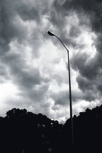
BLADEN COUNTY – As for our local 7-day weather outlook, we will be cooling down a little bit, but the rain coming up from Tropical Storm Debbie who is skirting up the eastern coast of the United States and moving slowly, will take a week or so to pass. She’s a big girl with a colorful dress.
On Sunday tropical storm Debby was getting stronger with 80 mph winds, her pressure was at 979 mb and was upgraded to a hurricane I status. She first arrived in the Gulf of Mexico before heading east and hitting Florida’s Big Bend area. (Florida’s Big Bend is an informally named region of North Florida. Many describe it as the area where Florida’s Panhandle (the east-west section of the state) transitions to the Florida Peninsula. She officially hit landfall near Steinhatchee, Florida Monday morning at 7 a.m.
The big old girl ambled through Florida and has brought rain to Georgia, South Carolina, North Carolina and Virginia. We are looking at between 6 and 10 inches of rain before she heads back out to sea. Record rainfall records could be broken and expect heavy rain and gusty winds from Tuesday – Friday. Early Monday morning, parts of Georgia and South Carolina had already issued a state of emergency. It would be surprising if North Carolina didn’t follow suit.
On Sunday, flash flood warnings were issued about 2 p.m. EST for Craven, Jones and Pamlico. According to ReadyNC.gov, “Floods are one of the most common dangers in the United States. Floods can occur at any time of the year and just about anywhere in North Carolina. They may be caused by large amounts of rain, hurricanes or dam failures. Anywhere it rains, it can flood.
“To prepare for a flood:
- Build an emergency kit.
- Make a family communications plan.
- Do not build in a floodplain unless you raise it up and support your home.
- Raise up the furnace, water heater and electric panel in your home if you live in a high flood risk area.
- Think about putting in “check valves” to prevent flood water from backing up into the drains of your home.
- If you can, build barriers to stop floodwater from entering the building. Seal walls in basements with waterproofing compounds.
Know the terms:
- Flood watch – rainfall is heavy enough to cause rivers to overflow their banks. Flooding is possible.
- Flood warning – flooding is occurring or very likely to happen in an affected river, lake or tidewater area. If told to leave, do so immediately.
- Flash flood watch – flash flooding in specified areas is possible. Be alert! You may need to take quick action.
- Flash flood warning – flash flooding is occurring or is likely to happen along certain streams and select areas. Get to a safe place immediately!
FIMAN – Flood Inundation and Mapping Network
The Flood Inundation Mapping and Alert Network (FIMAN) provides rain and river gage data, flood inundation maps, flooding impacts and alerts in real-time.
North Carolina’s flood information portal allows you to learn about your flood risk, potential insurance rates, flood mitigation opportunities and the location of flood warning sites near you.
FRIS – Flood Risk Information System
The Flood Risk Information System allows residents to view floodmaps, determine flood risk, and get a flood insurance estimate for your property.
Southeast River Forecast Center
The National Weather Service’s Southeast River Forecast Center monitors river gauges and flooding conditions across several southeastern states.
Our Bladen County 7-Day outlook:
Tuesday: Rain. High 81F. Winds ENE at 10 to 15 mph. Chance of rain 90%. Rainfall near a half an inch. Tuesday night: Cloudy with periods of rain. Low 73F. Winds NE at 10 to 15 mph. Chance of rain 90%. Rainfall around a half an inch. Wednesday: Cloudy with showers. High 84F. Winds NNE at 10 to 20 mph. Chance of rain 90%. Wednesday night: Cloudy with occasional rain showers. Low 72F. Winds NNE at 10 to 15 mph. Chance of rain 60%. Thursday: Scattered thunderstorms. High 84F. Winds E at 10 to 15 mph. Chance of rain 60%. Thursday night: Scattered thunderstorms in the evening, then variable clouds overnight with more showers at times. Low 71F. Winds ESE at 5 to 10 mph. Chance of rain 60%. Friday: Variable clouds with scattered thunderstorms. High near 85F. Winds SSE at 5 to 10 mph. Chance of rain 60%. Friday night: Variably cloudy with scattered thunderstorms. Low 72F. Winds SSE at 5 to 10 mph. Chance of rain 60%. Saturday: Mixed clouds and sun with scattered thunderstorms. High 86F. Winds SSE at 5 to 10 mph. Chance of rain 60%. Saturday night: Variable clouds with showers and scattered thunderstorms. Storms more numerous during the evening. Low 71F. Winds ESE at 5 to 10 mph. Chance of rain 60%. Sunday: Variable clouds with scattered thunderstorms. High 87F. Winds ESE at 5 to 10 mph. Chance of rain 60%. Sunday night: Mostly cloudy with showers and a few thunderstorms. Low 69F. Winds SE at 5 to 10 mph. Chance of rain 60%. Monday: Rain showers in the morning with scattered thunderstorms arriving in the afternoon. High 87F. Winds SSE at 5 to 10 mph. Chance of rain 60%. Monday night: Partly cloudy. Low 69F. Winds SSE at 5 to 10 mph.
Popular song for the week: “There goes the sun, do ‘n do do”


Leave a Reply